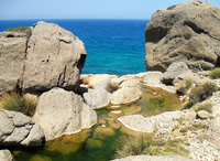
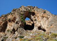
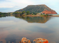
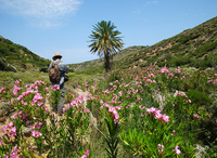
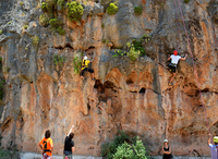
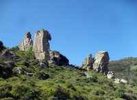
The region of Sitia has perfectly preserved the characteristic elements of their natural and cultural environment.
The Easternmost part of Crete, has now preserved untouched the particular features of the mountain and coastal landscape on which Cretan tourist development relies, preserves at the same time its ancient traditions and culture.
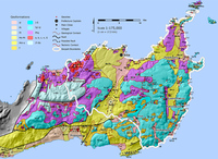
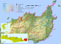
All these elements are harmoniously combined through a holistic plan for the development and preservation of the natural and cultural environment and sustainable local development: The Sitia Geopark. The Geopark occupies an area of 517 square kilometers and its boundaries begin from the Mesa Mouliana area to Cape Sidero, and from Krya to Xerokambos. The beautiful coastal landscapes alternate with the picturesque wilderness of the craggy mountains and the works of human hand in Sitia through the ages.
The Sitia Geopark has implemented a series of informative infrastructure and accommodation facilities for their visitors with the aid of European fund programmes.
Alongside the other tourist infrastructure in the area, visitors can also enjoy a network of 20 hiking trails and other geo routes, discover the riches of the caves at the karydi Speleological Centre, and visit the local Natural History Museum in Epano Zakros and to admire the rare geology of the territory.
Information and route signs inform visitors of the sights and trails in the park, while a wide range of information leaflets is available from local information centers.
The Sitia Geopark management and information bureau is on the seafront of Sitia town by the Marina.
A basic information gateway to the Sitia Geopark is the www.sitia-geopark.gr website, providing a wealth of detailed information, all the park publications and news, and interactive maps of the geo sites and geo routes available.
mail: This email address is being protected from spambots. You need JavaScript enabled to view it.
Management Body: Social and Cultural Development Organization of Sitia Municipality.


